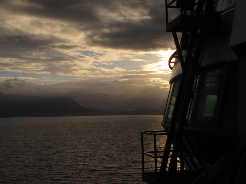
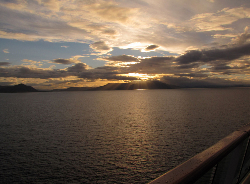
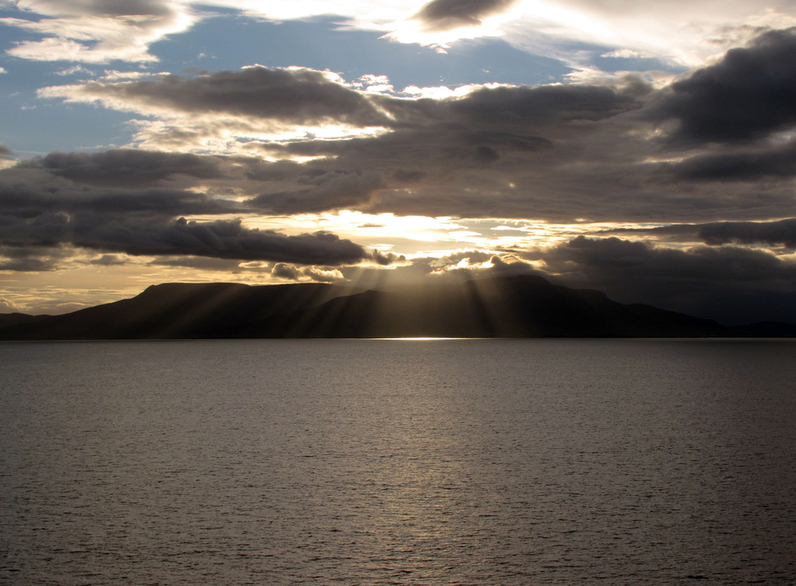
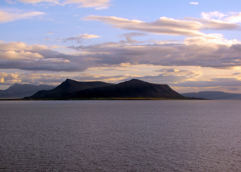
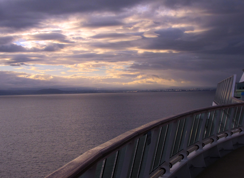
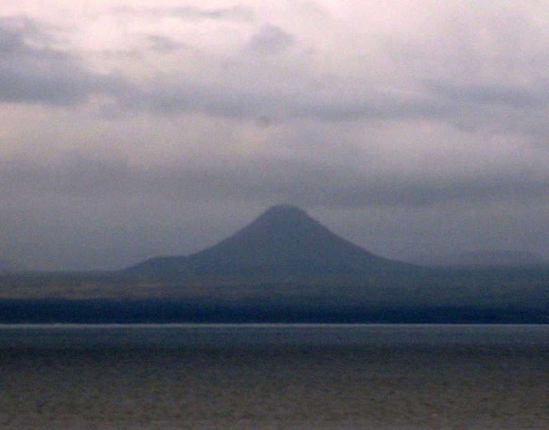
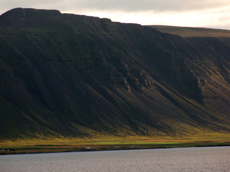
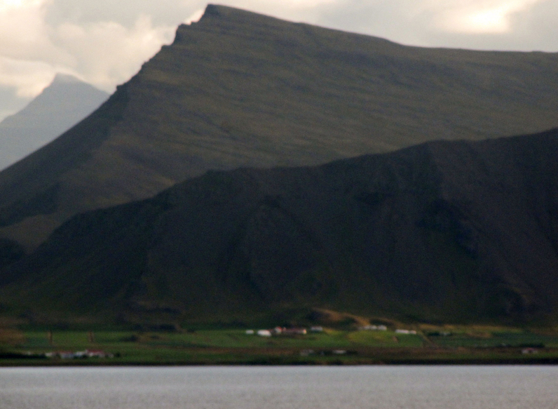
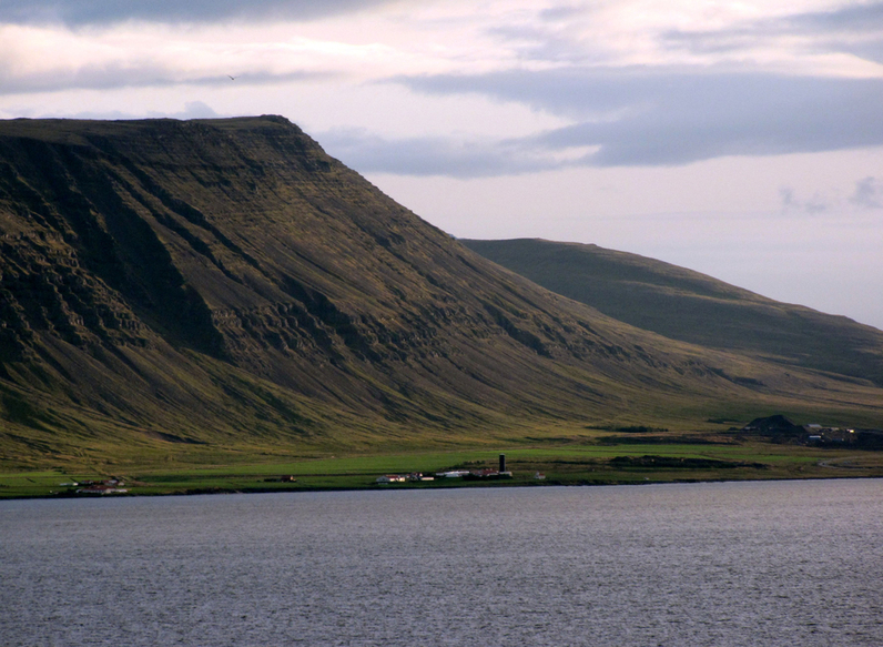
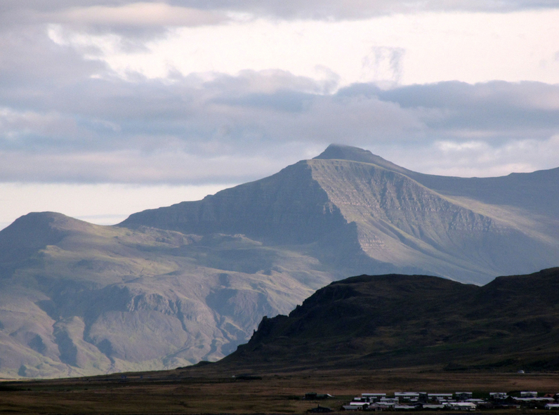
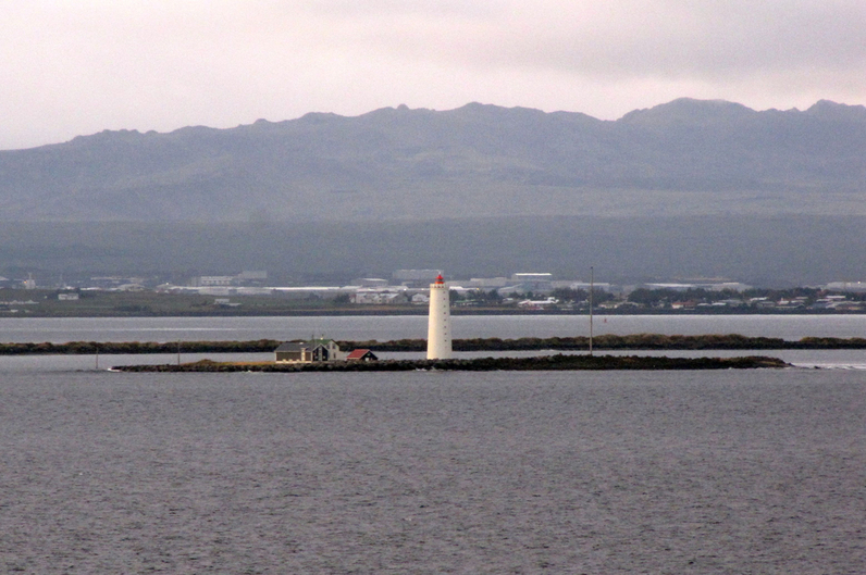
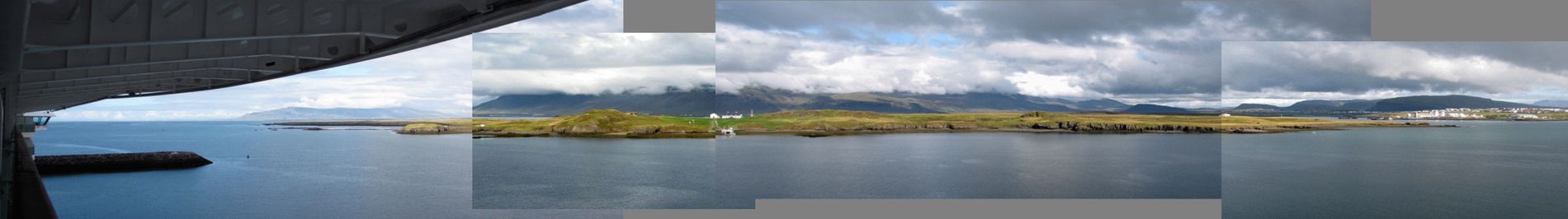
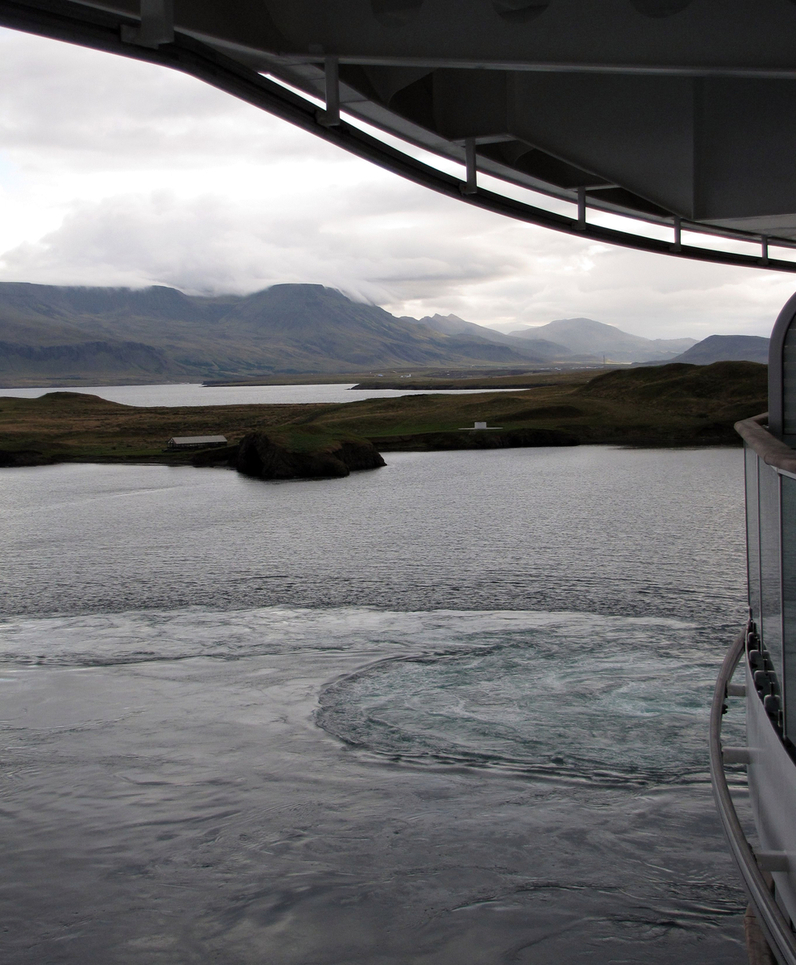
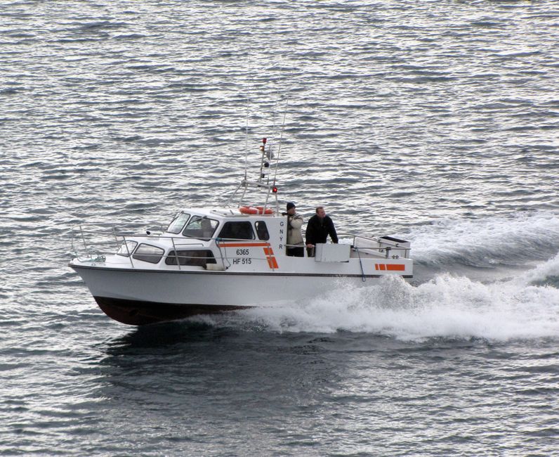
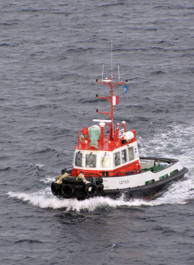
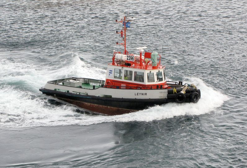
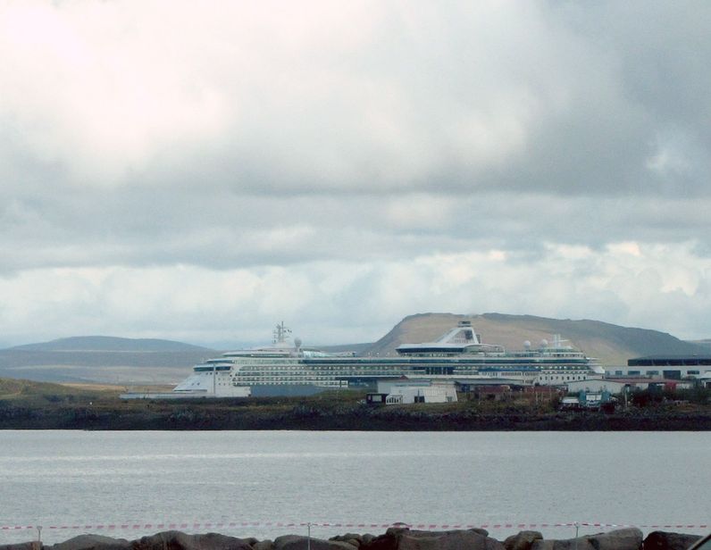
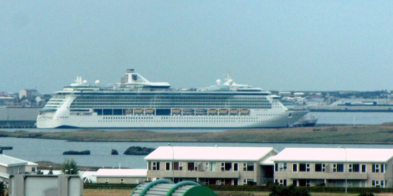
Sailing in at dawn


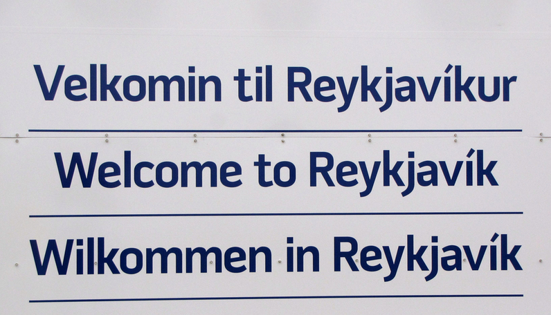
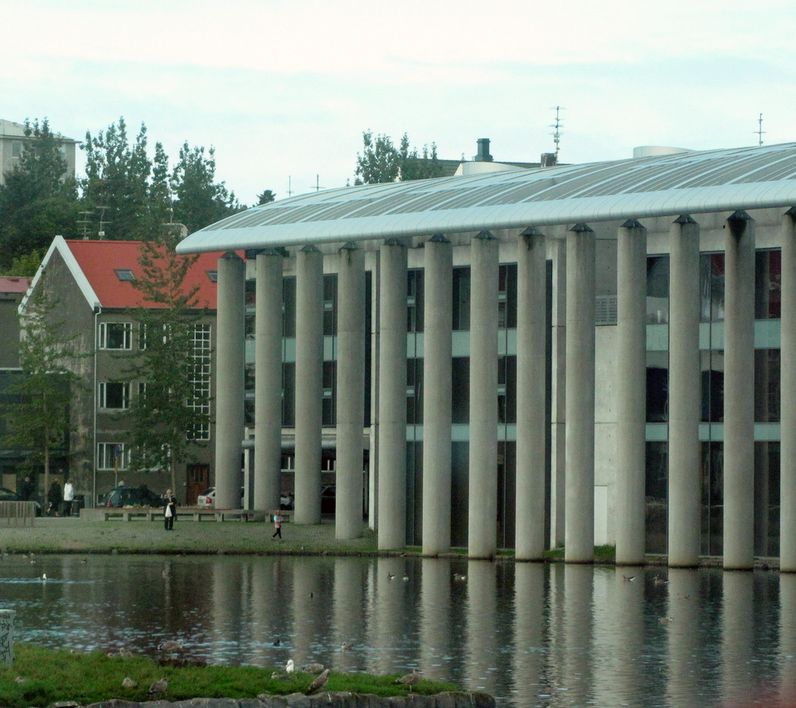
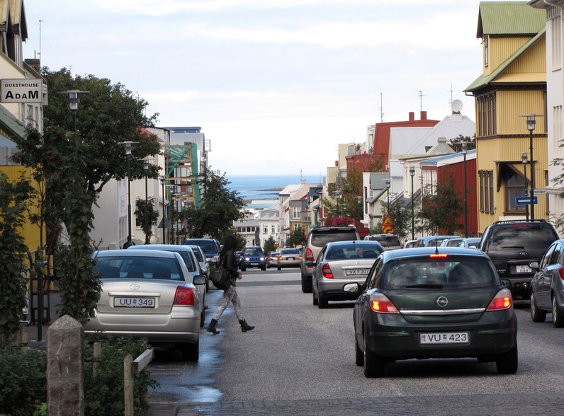
Downtown
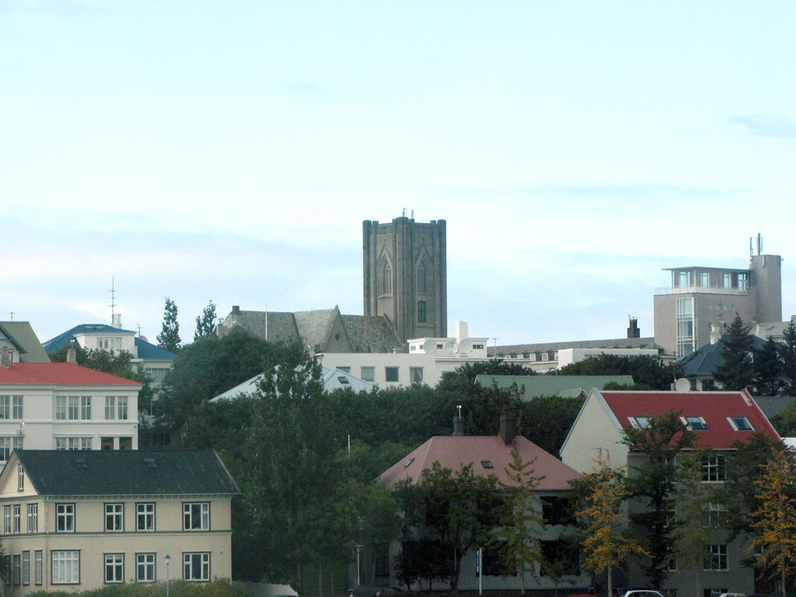
Hallgrímskirkja
The Hallgrímskirkja (Icelandic: "church of Hallgrímur") is a Lutheran (Church of Iceland) parish church in Reykjavík, Iceland. At 74.5 metres (244 ft), it is the largest church in Iceland. The church is named after the Icelandic poet and clergyman Hallgrímur Pétursson (1614 to 1674), author of the Passion Hymns.


Leifr Eiríksson
Leif Ericson (sic) (from the Old Norse: Leifr Eiríksson; c. 970– c. 1020) was a Norse explorer who is regarded as the first European to land in North America (excluding Greenland), nearly 500 years before Christopher Columbus. According to the Sagas of Icelanders, he established a Norse settlement at Vinland, which has been tentatively identified with the L’Anse aux Meadows Norse site on the northern tip of the island of Newfoundland in Newfoundland and Labrador, Canada. It is believed that Leif was born about AD 970 in Iceland,